


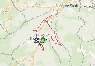

15.3 km | 23 km-effort


User


FREE GPS app for hiking
 SityTrail
IGN / Geographical institutes
SityTrail World
The world is yours!
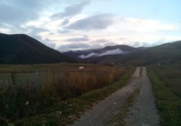
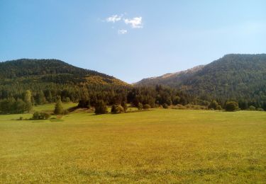
Trail Walking of 15.5 km to be discovered at Occitania, Aude, La Fajolle. This trail is proposed by c.chehere.
Entièrement en forêt sur de très bonnes pistes. Le stationnemnt est difficile à La Fajolle


Walking
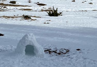
Snowshoes

Snowshoes

Walking
Walking
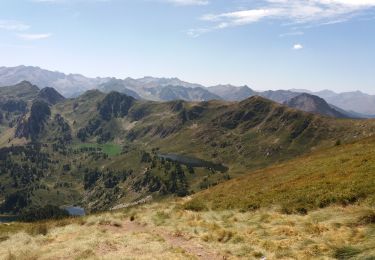
Walking

Walking